Good news everyone!
OpenCities Planner was updated with mainly bug fixes and minor improvements. But there are a few new things that you might want to check out too!
Good news everyone!
OpenCities Planner was updated with mainly bug fixes and minor improvements. But there are a few new things that you might want to check out too!
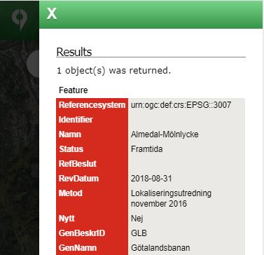
The popup window for displaying GetFeatureInfo results in the mobile interface has been improved. The results shows in a side panel just as Points of interests details window.
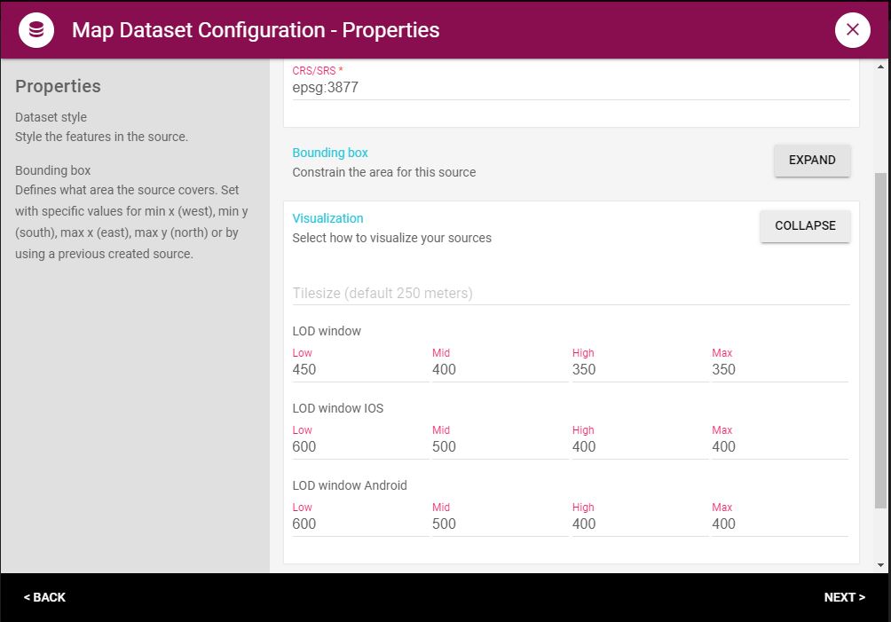
You can now set default LODWindow settings in DataManager for your Map Datasets. This means that you don’t have to specify it every time you add the map dataset to a project. To learn more about LODWindow Setting, have a look here.
The first time user on an iOS device used to have to wait quite a long time for the data to be prepared and served from the OCP server. The second user visiting the same area, would have a much better experience since the data is cached on requests. We have improved the generation process 5-10x so the first time user to a project using an iOS device will now have a much better user experience.