“Terraimages” are simply images you upload which are then projected on to the 3D map background. The most common use case is uploading a plan area.
Adding Terrain Images
Just the Basics… (for now)
There are two ways to upload a Terrain Image.
- Simply Drag & Drop a PNG, JPG, or GIF anywhere on the OpenCities Planner Interface.
- Open the Terrain Image Tool:
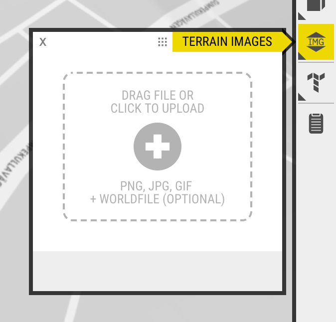
Then click the button to locate a local file to upload.
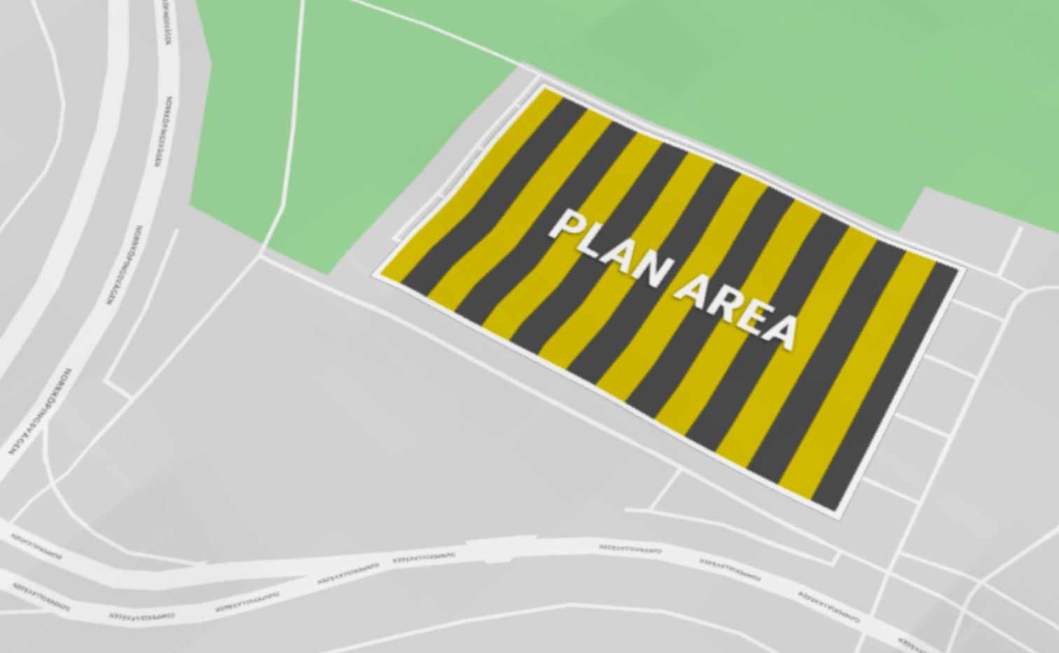
Basic Task & Example
Task: Upload an image and use the tools to ‘fill’ a city block.
It’s just a basic example, but here you can see an image we used to replace a parking lot.