Showcase: SGU
Anatomy of the Project
This project uses several advanced features. Let’s walk through its anatomy.
- Embedded Project Info Panel – Project Info was configured as a panel with an embedded website. An embedded website is ideal for displaying advanced web content.
- Target Links – The links in the embedded Project Info panel were configured to control OpenCities Planner. Presenting content in this fashion gives the administrator an alternative way of presenting their project — with more granular control.
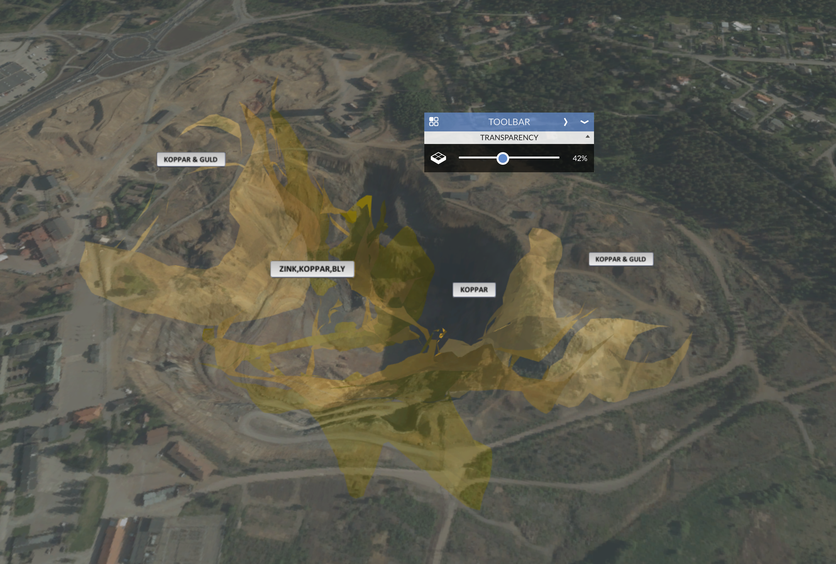
- Transparency – When visualising underground content, transparency is critical. The Transparency slider is used to view content such as the underground mine.
- WMS Layers – Information from SGU’s internal Web Map Service was added to the project in order to integrate geo-referenced data.
- 3D Models – This project is packed with 3D models of various sizes and styles, explore and see what you can find.
- Points of Interest – Offer contextual information for specified areas, as always.
Links
- Check out the project, hosted on SGU’s website (in Swedish)
- Read more about the project: Falu gruva och Uppsalaåsen i 3D (in Swedish)
- If you are curious and cannot read Swedish, you can still learn a little about Falun Mine and Uppsala Esker Ridge on Wikipedia in English.
