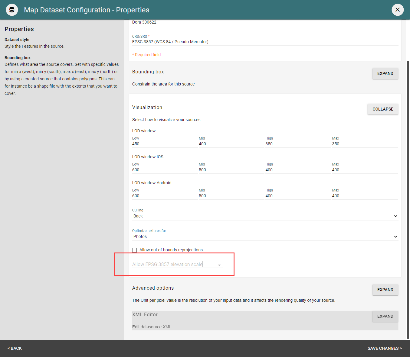
In DataManager you can modify the Elevation scaling of your Map Dataset when using EPSG:3857 as your coordinate system.
When configuring a new Map Dataset, you will find this setting under Visualization.
For those Map Datasets existing prior to the introduction of this option, this is disabled by default which means data will be handled accurately by performing a proper elevation scaling so it will not negatively affect any existing use-cases. However, this is recommended to be enabled if necessary whenever possible.
New users can set this to Yes, enabling Elevation scaling of EPSG:3857 for their data. However, we suggest that previous OpenCities Planner users avoid such changes that might affect the visualization outcome of their data, with the lying damage of breaking anything.

