The long awaited Export 3D feature is now available as a beta release.
To use the Export 3D tool, either create a new Project (and save it) or open an existing Project.
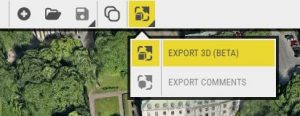
Select the export format you prefer (KMZ or Collada) and choose if you want to combine all layers into a single file or generate separate files for each layer. You also have the option to create a terraform for the same area that you’re exporting – useful if you’re planning on re-importing with edits to the ground.
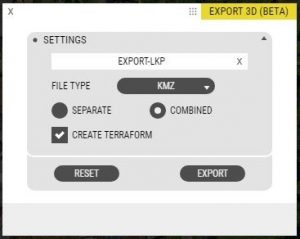
Proceed by drawing a polygon for the area you want to export, then click the Export button.
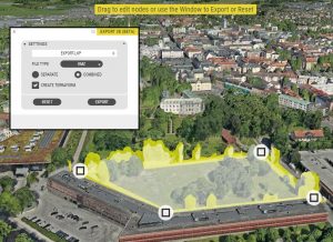
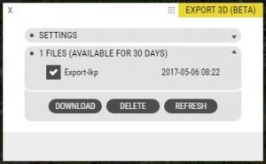
The export will be prepared and you’ll receive an email when it is ready.
Click the Download button to get the prepared export in a Zip-file.
Import to your CAD, 3D-authoring tool, or SketchUp.
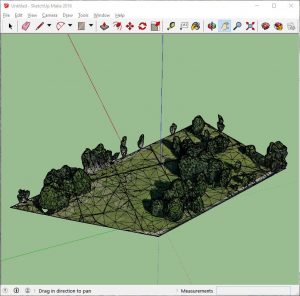
If you draw / model on the imported model, it keeps the geo-referencing so upon re-import your modifications will be accurately placed. KMZ will be geo-referenced in WGS84 and Collada will keep the coordinate system specified in the project. OpenCities Planner will convert imported KMZ files to the project’s coordinate system.
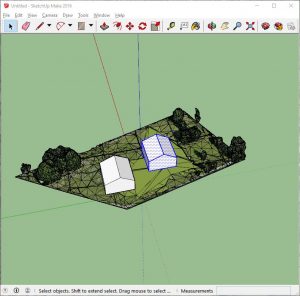
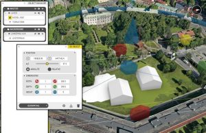
Let us know how it works! Use the support form to report bugs or other feedback you might have on this tool.