Start by logging into your account in OpenCities Planner and opening DataManager.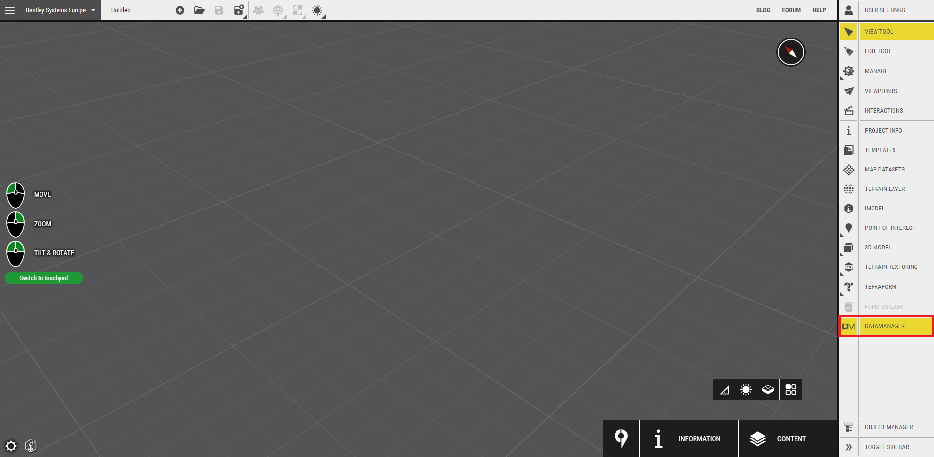 DataManager is available to every account hosted on Azure.
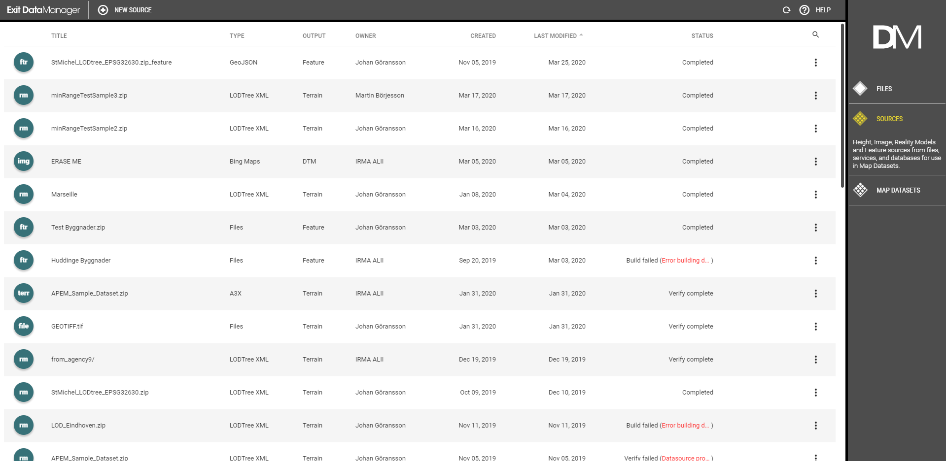
There are three basic concepts (tabs) used in the DataManager interface:
Files
Uploaded files through either drag and drop onto the DataManager interface or uploads done with the Azure Storage Explorer application.
Sources
Sources are Height data, Image data, Reality Models, Pointclouds, and Features created from files, services, or databases. They can be configured, clipped and styled depending on the delivery method and type. A Map dataset is created from a single source or multiple merged sources and used in the OpenCities Planner Editor.
Map Datasets
After preparation and configuration of sources, what you actually use in projects are Map Datasets. A dataset can be a single source or combinations of different data types and sources into a single federated map dataset.
Note!
There is a size limit on DataManager, it only allows a single source up to 400 GB of raw uploaded data. A map dataset can still be larger than 400 GB in case of combining multiple sources.