OpenCities Planner Update, February 2018

Export 360° Panoramic Images

There’s a new export tool for grabbing a panoramic image from any position in your OpenCities Planner project.

Just open the Export 360° Image tool, set your dimensions in pixels, choose your image format, and press Export to get a 360° image that you can use in any panoramic viewer. Neat.
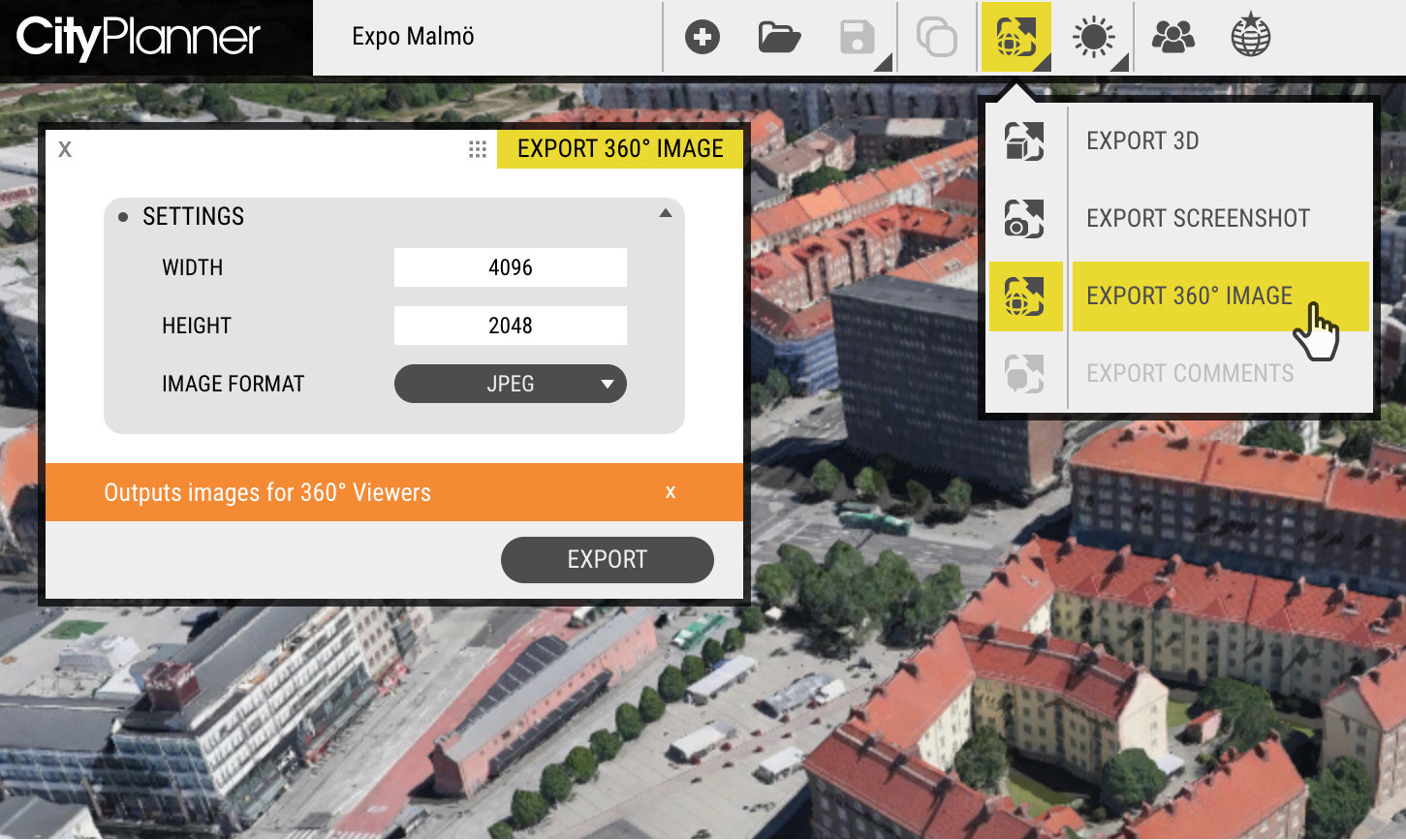
Export 360° Images
Export 360° Images

Portals: Improvements & New Features

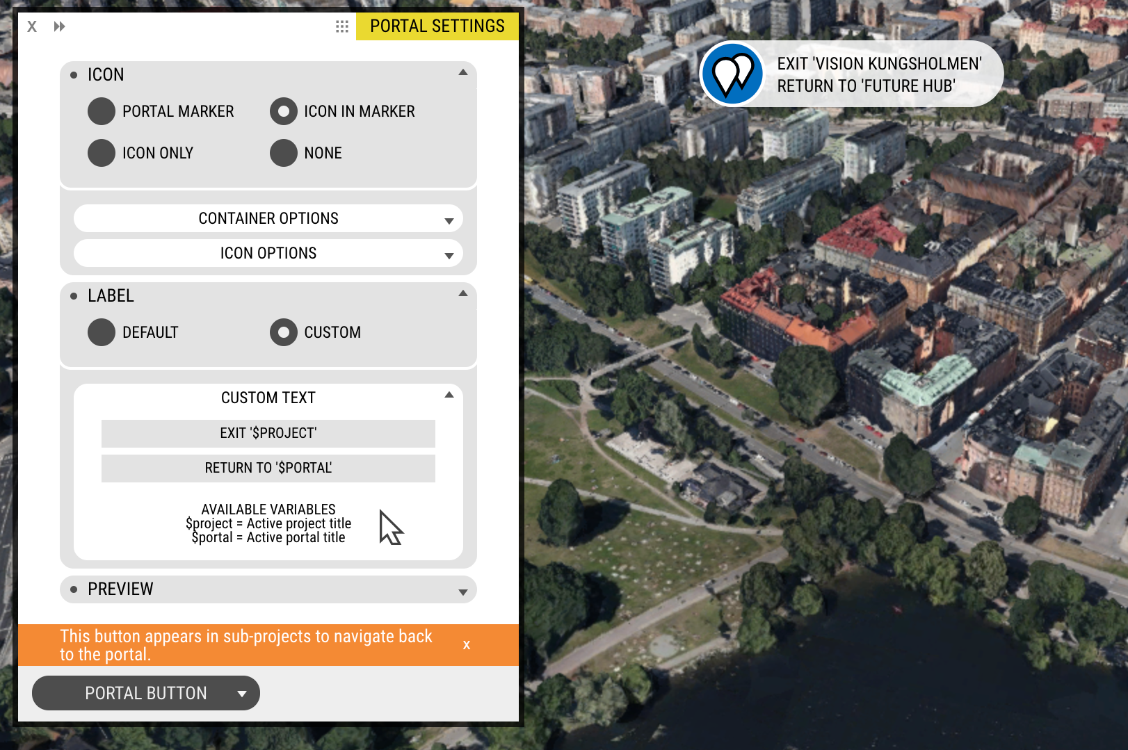
Portal Navigation has been revised. The button has a new location and far more customisation options, to best suit every use case.

In Project View, the new home for the Portal Navigation Button is the top-centre of the screen (it used to be the rightmost button in the Ribbon). The new location provides far better visibility and the improved customisation allows for more explicit communication to the user.

You can customise the icon, style, and text to best suit your project.

Customising the Portal Navigation Button

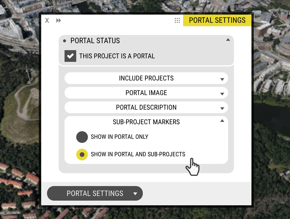
“Show in Portal and Sub-Projects” option
Sub-Project Markers can now be viewed from within sibling Projects. With this new behaviour, users can navigate directly between Projects without needing return first to the Portal.

Show in Portal and Sub-Projects option

Project Marker Rendering
We have switched from rendering Project markers as SVG to raster images. This will improve performance in Portals with a large number of projects.

The rendering is performed by OpenCities Planner. It is still recommended to upload all assets in SVG for the best possible quality.

Offline: Also Improvements & New Features!

It’s time. Run the Sync tool to update your OpenCities Planner Offline viewer.

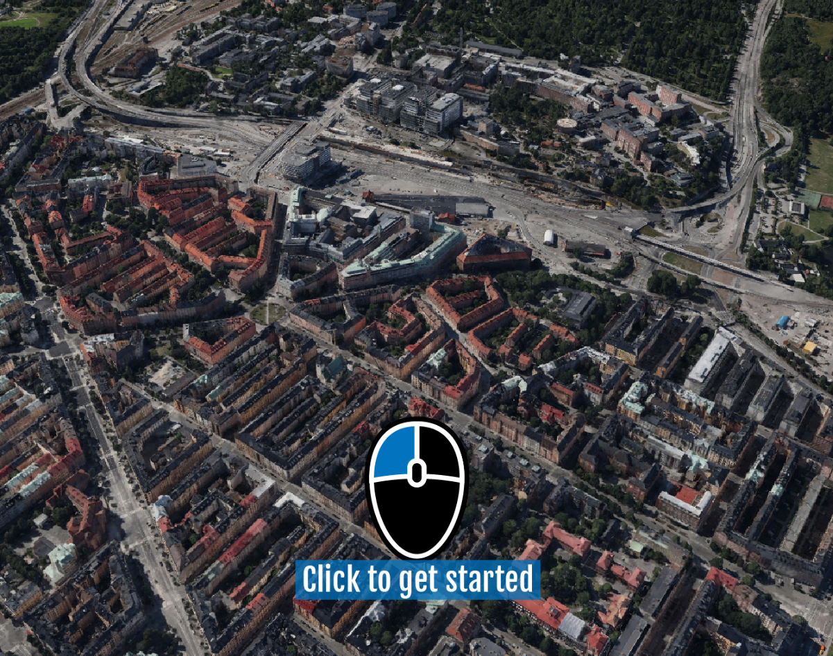
Idle Overlay
A great new feature for Offline is the ability to show a friendly instruction on the screen when the application is not being used and switches to ‘idle mode’.

Idle Graphic: Touch
Idle Graphic: Touch

The text can be customised, to best suit your installation, and the colour matches the project. Idle instructions work for both Touch and Desktop.

Idle Graphic: Desktop

New Idle Timeout Action: “Reset to Initial State”
On idle timeout, you can choose between Autopilot or the new ‘Reset to Initial State’ action. The reset action will return the camera to the Portal’s Start View, so each new user can start fresh when they start to interact with OpenCities Planner.

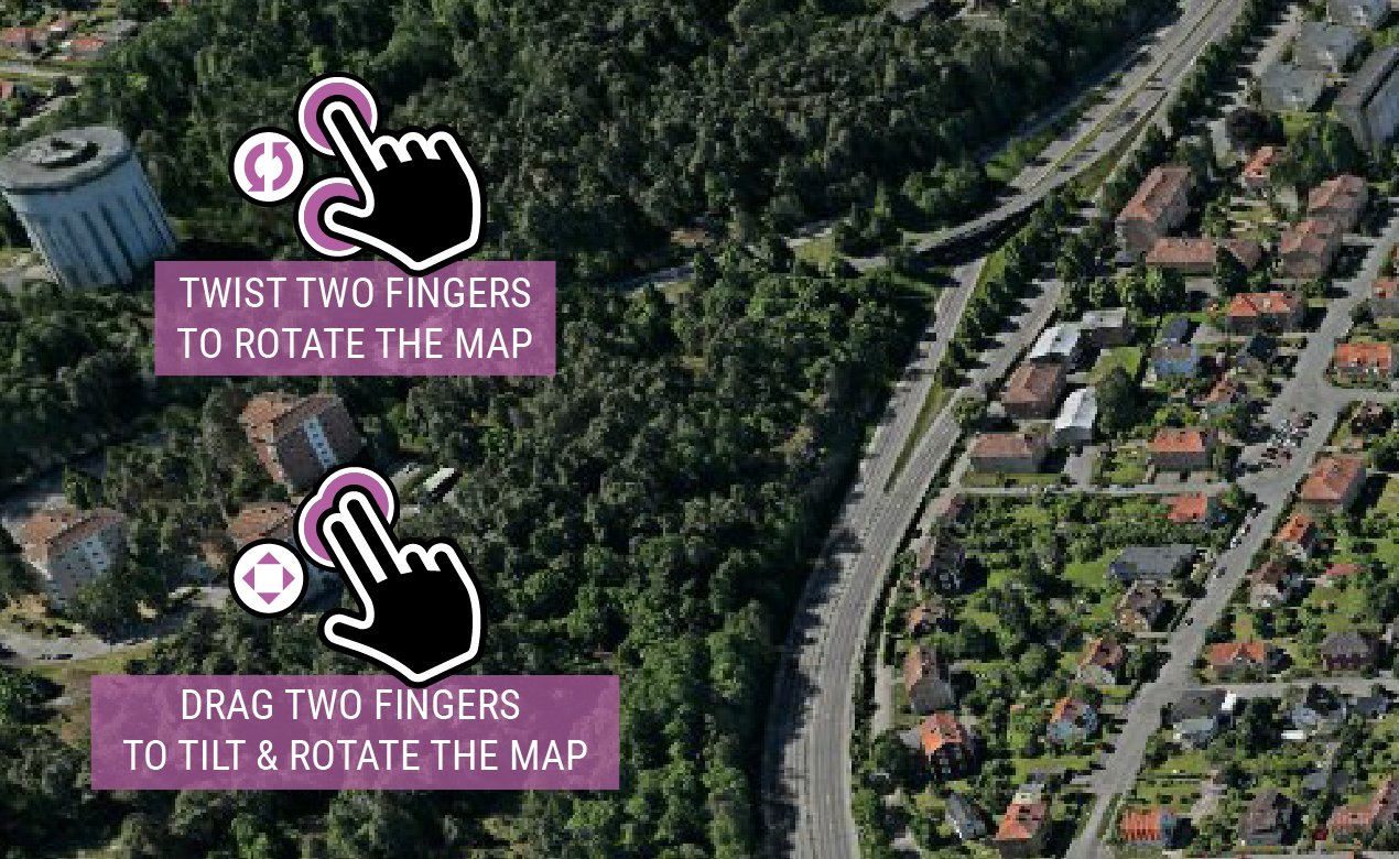
Show Navigation Instructions
Offline can now show navigation instructions on screen all the time to help inexperienced users navigate.

Navigation Instructions: Detail

This was developed with public showrooms in mind, where lots of people encounter the software for the first time.

Offline Navigation Instructions
Navigation Instructions: Offline Screenshot

Turn it on and configure it via the Settings application.

Settings Application: Minor layout improvements
The Settings application has gotten a cleaner interface. Tabs have been used to group different settings.

Object library

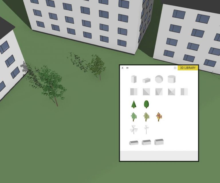
New tree models, wind turbines and type houses are added to the object library. Let us know what type of generic models you’d like to see in the future!

Icon Library: Improvements, Additions, & Outlines

The Icon Library, and how the icons are displayed in the various parts of the UI, has been streamlined and revised.

As a project Editor, what you need to know is that the default size for icons should be better now – uploads will require less manual adjustments. Be mindful of minor differences when working with new and old projects.

The library sections are easier to work with as well, featuring accordion style sections and limited number of visible rows.

More Options
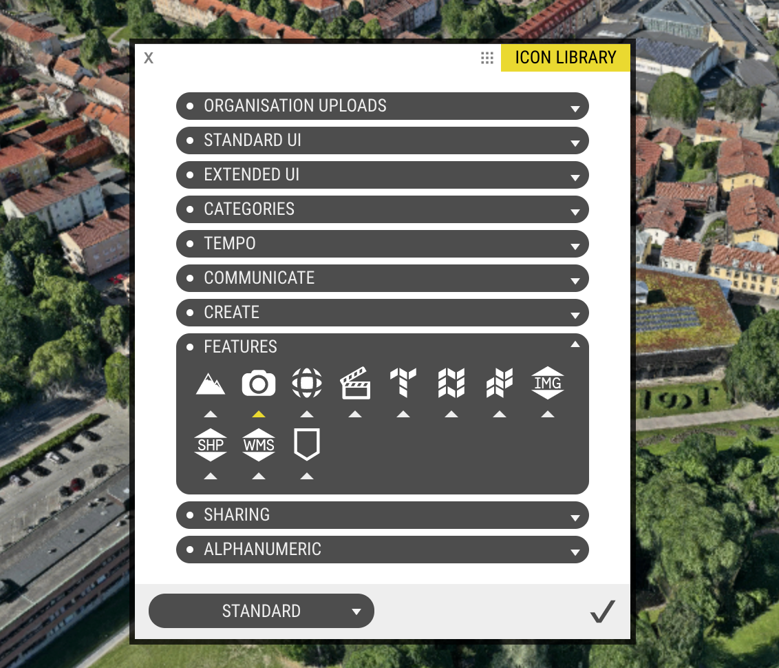
The number of default icons has more than doubled – many of new options are useful because they match OpenCities Planner features.

Icon Library: Many Additions

Outline Style – Ideal for ‘Icon Only’ POIs
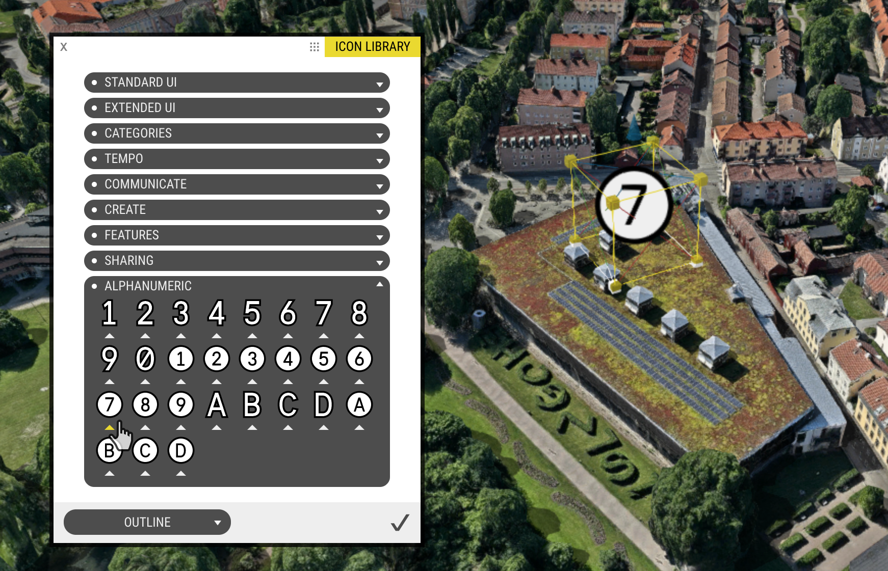
We’ve added a whole new style to the Icon Library – Outlines. The purpose of this new style is to be able to use our default Icons as POIs. The white only versions are hard to see in-map, so when adding simple icons as POIs, try switching to the Outline version for improved visibility.

Icon Library: Outline Style

Other Improvements

  • HTTPS-support. Editor will only run via HTTPS, projects view will support both HTTPS and HTTP since some embedded content might only run in HTTP mode.
  • New Satellite backgrounds, pick with or without roads!
  • Manual height setting for Details Window
  • X-icon for close action added to group menu title bar

Bug Fixes

  • VR UI fixes
  • WMS header style authentication bug fix