Working with Sketchup and OpenCities Planner

Modeling

Follow the guidelines from the 3D-modelleing for OCP documentation to create a smooth experience for your end users.

Geo referencing and exporting

  1. Go to OpenCities Planner and use the 3D export tool to export the area where you want to place the model. Pick KMZ as the export format.
  2. Import that background model to SketchUp. Make sure it’s a new SketchUp project, otherwise the existing coordinates could collide with the ones imported from OCP, then all this won’t work.
  3. Add the 3D model on top of the background you exported from OCP
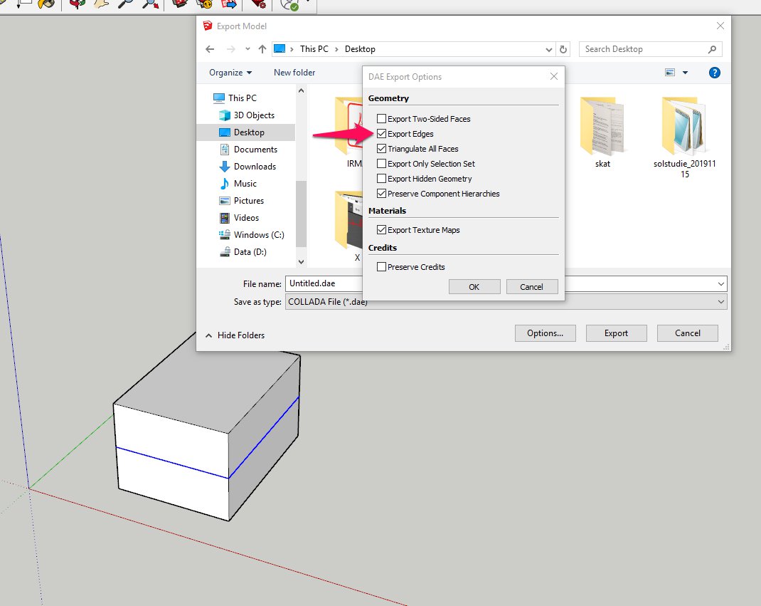
  4. Hide the background model and just export the 3D model as KMZ
  5. Import the 3D model into OCP

This way the model should be placed exactly the same as in SketchUp.

Note:

You might experience that your model is flattened or too wide after importing as a KMZ. The reason is because your model is not georeferenced correctly. KMZ files are by default always georeferenced in WGS84, which covers the whole world. Let’s say you are using a local coordinate system in OCP and you want to upload your model in Stockholm, Sweden. You will need to manually move the KMZ model to the Stockholm area in the world map for it not to get deformed.

To fix this issue, either:

  1. Georeference your model to the area you want to place it in, using Sketchups georeferencing tool
  2. Export as Collada (remember to zip the exported .dae file and all the textures)

Export settings

If you want to export your model with Line geometry, then you have to pick Collada as the export format and go to export options and check Export Edges. For Collada export, make sure you create a zip file of the exported .dae file and all the referenced textures before you upload it to OCP.